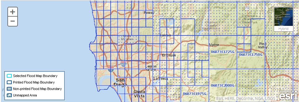
San Diego Flood Map Revised
I know with our beautiful weather, it’s hard to think about rain!
But, every now and then it rains in San Diego … Attached is information on the new flood maps that have been revised for San Diego County.
I hope you find this information useful!
The Federal Emergency Management Agency (FEMA) has issued revised Flood Insurance Rate Maps (FIRMs) for portions of San Diego County, primarily in the vicinity of Escondido, San Diego and Imperial Beach.
The maps have become effective as of Tuesday, April 5, 2016. These maps show areas that are considered to be in a floodplain, and therefore may require homeowners to obtain flood insurance. Disclosure of a Special Flood Hazard Area (Zone "A" or "V") that affects the property is a statutory requirement in real estate transactions under California Civil Code 1103.
FEMA last updated flood maps in most of the county in May 2012. On the maps that became effective on April 5th, approximately 5 parcels have been added to the Special Flood Hazard Area ("100-yr flood zone") and about 146 parcels have been removed from this high-risk zone.
Prospective home buyers may wish to check with their insurance agent to see if the property's flood zone, and insurance requirements, will be affected by the map changes.
To view the currently effective flood maps, follow these steps:
• Go to https://msc.fema.gov/portal
• Enter the property address and click "Search"
Directly beneath the above search portal, you can Search All Products to access the full range of flood risk products for your community.


